

A 1987 postcard featuring a panoramic view of Dzerzhinsky Street in Ivano-Frankivsk from the «Old Postcards» archive collections.
What is shown on the postcard
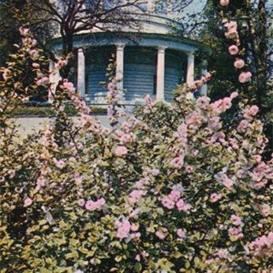
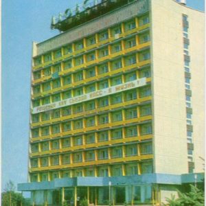
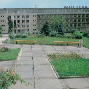
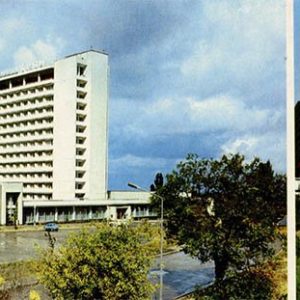
The postcard shows a multi-part composition: on the left, an airplane monument on a pedestal against a flowerbed; on the right, historic street architecture with multi-story buildings and a roadway.
Historical note
During the Soviet period, the street was named after Felix Dzerzhinsky. It served as one of the central transport and pedestrian arteries of the city, combining older architectural heritage with Soviet-era public monuments.
Present day
Today, the former Dzerzhinsky Street is renamed Nezalezhnosti Street. A significant portion of it has been converted into a pedestrian zone popular among residents and tourists, retaining many historic buildings from the late 19th and early 20th centuries.
Location (map)
Address: Nezalezhnosti Street, Ivano-Frankivsk, Ukraine
Coordinates: 48.922600, 24.711100
(Google Maps)
Coordinate source: Historic center of Ivano-Frankivsk, Nezalezhnosti street (former Dzerzhinsky).
Questions and answers
- What is the publication year of the postcard? The postcard was published in 1987.
- What street is shown on the postcard? The postcard depicts Dzerzhinsky Street in Ivano-Frankivsk.
- What is the modern name of the street? Today it is known as Nezalezhnosti Street.
See also
The «Old Postcards» archive includes other views of Ivano-Frankivsk from 1987.

Reviews
There are no reviews yet.