

A 1987 postcard from the “Old Postcards” archive featuring panoramic views of the children’s hospital and park in Ivano-Frankivsk.
What is shown on the postcard
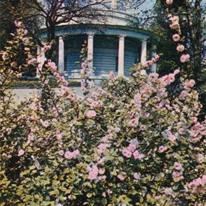
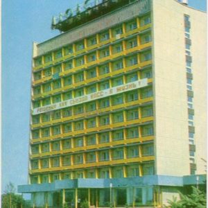
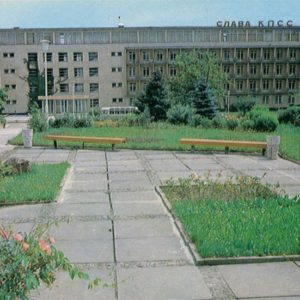
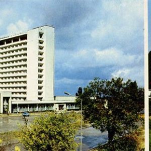
The front side of the postcard features two photographs. The left image shows the multi-story building of the children’s hospital with a landscaped area, flowerbeds, and lampposts. The right image captures a park landscape with a pedestrian bridge over a body of water, surrounded by greenery.
Historical note
The postcard was published in 1987 and reflects the appearance of the Soviet urban infrastructure of Ivano-Frankivsk during that period. The children’s hospital complex and adjacent park areas formed an important part of the city’s social environment.
Present day
Currently, the hospital buildings continue to function as part of Ivano-Frankivsk’s healthcare system, and the park areas serve as a recreation spot for city residents.
Location (map)
Address: Chornovola St, Ivano-Frankivsk, Ukraine
Coordinates: 48.918900, 24.700300
(Google Maps)
Coordinate source: City Children’s Clinical Hospital, Chornovola St, Ivano-Frankivsk.
Questions and answers
- What year is indicated on the postcard? The year 1987 is indicated on the postcard.
- What is depicted on the left part of the postcard? The left part depicts the children’s hospital building with a landscaped surrounding area.
- What is shown on the right part of the postcard? The right part shows a park landscape with a pedestrian bridge over a body of water.
See also
The «Old Postcards» archive includes other views of Ivano-Frankivsk from 1987.

Reviews
There are no reviews yet.