

An encyclopedic overview of the 1987 Ivano-Frankivsk postcard.
What is shown on the postcard
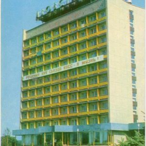
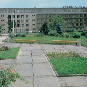
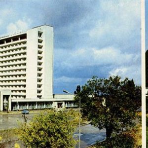
The postcard features two views: the left side shows the airport building with a sign and parked vehicles, while the right side displays a landscaped public square with flowerbeds, lampposts, and a monument.
Historical note
Published in 1987, the postcard captures the appearance of the city during the Soviet period. The airport and central public spaces played an important role in the transport and social infrastructure of Ivano-Frankivsk at that time.
Present day
Today, the urban infrastructure and appearance of these locations have undergone significant changes associated with modern urban development processes in Ukraine.
Location (map)
Address: Ivano-Frankivsk, Ukraine
Coordinates: 48.922100, 24.711100
(Google Maps)
Coordinate source: Mickiewicz Square and airport in Ivano-Frankivsk.
Questions and answers
- What year is indicated on the postcard? The year 1987 is indicated on the postcard.
- What objects are depicted on the card? The card depicts the airport building and the square on Mickiewicz Square.
- In which city were the photographs taken? The photographs were taken in Ivano-Frankivsk.
See also
The «Old Postcards» archive includes other views of Ivano-Frankivsk from 1987.


Reviews
There are no reviews yet.