
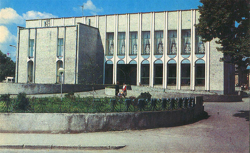
This 1987 postcard shows the wedding palace in Kolomyja.
What is shown on the postcard
The image features a ceremonial building with a portico or colonnade typical of late-Soviet civil-registry architecture, in a landscaped city centre.
Historical note
Wedding palaces replaced modest registry offices and became representative architecture of the late USSR. In Prykarpattia district centres they marked civic rituals and urban status.
Present day
The building remains a marriage-registration venue. The postcard records it in 1987.
Location (map)
Address: central Kolomyja, Ukraine
Coordinates: 48.530200, 25.038800
(Google Maps)
Coordinate source: Open map data, Kolomyja.
Questions and answers
- What is shown? The wedding palace.
- What year? 1987.
- What is the building for? Marriage registration.
See also
The «Old Postcards» archive includes other views of Kolomyja from 1987.





Reviews
There are no reviews yet.