
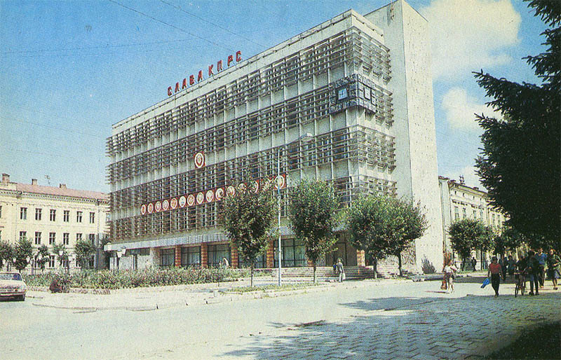
This 1987 postcard shows the district post and communications hub in Kolomyja.
What is shown on the postcard
The image features a postal and telegraph building with a typical Soviet communications facade in the city centre.
Historical note
Communications hubs handled mail, telegraph, and telephone networks in district centres. Kolomyja on the Prut linked mountain areas of Prykarpattia with the oblast capital and the rest of Ukraine.
Present day
Central communications buildings have been modernised since then. The postcard records the hub in 1987.
Location (map)
Address: central Kolomyja, Ukraine
Coordinates: 48.528500, 25.040000
(Google Maps)
Coordinate source: Open map data, Kolomyja.
Questions and answers
- What is shown? The district post and communications hub.
- What year? 1987.
- Where is it? In central Kolomyja.
See also
The «Old Postcards» archive includes other views of Kolomyja from 1987.





Reviews
There are no reviews yet.