

The postcard shows a view of the embankment of Dnepropetrovsk (now Dnipro) in 1976.
What is shown on the postcard
The image presents a panorama of the river with moored river vessels. Two passenger motor ships are visible in the foreground. In the background, there is an embankment with trees, residential high-rise buildings, and a hotel.
Historical note
The Dnepropetrovsk embankment is one of the largest in Europe. During the Soviet period, it was actively developed as a recreational area and a transport artery of the city. The vessels in the image likely belonged to the “Zarya” type or similar, used for river excursions and transport.
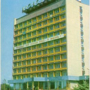
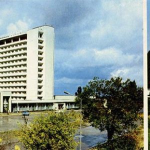
In 1976, the city was named Dnepropetrovsk. The “Avrora” (or “Slavutich”) hotel was one of the prominent buildings on the embankment.
Present day
The modern embankment of Dnipro continues to be an important urban space, although its appearance may have changed. River navigation on the Dnipro exists but is mainly of a tourist nature. The hotel depicted in the postcard also continues to operate.
Location (map)
Address: Embankment, Dnipro, Ukraine
Coordinates: 48.464700, 35.046200
(Google Maps)
Coordinate source: Location identified based on the panorama of the embankment and buildings characteristic of the city of Dnipro..
Questions and answers
- What city is depicted on the postcard? The postcard depicts the city of Dnepropetrovsk (now Dnipro), Ukraine.
- What season is depicted? Judging by the greenery and weather, it is likely summer.
- What types of vessels are visible in the image? Passenger river vessels, likely intended for excursions or transport, are visible in the image.
See also
The «Old Postcards» archive includes other views of Dnipro from 1976.

Reviews
There are no reviews yet.