
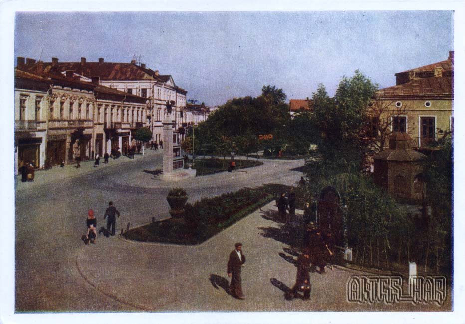
This 1959 postcard shows Lenin Square in central Kolomyja.
What is shown on the postcard
The image captures a central square with a monument, planting, public-building facades, and typical Soviet landscaping in a Prykarpattia district centre.
Historical note
Lenin squares anchored the political and urban centre of Soviet towns. In Kolomyja, historically tied to Hutsul trade and crafts on the Prut, such spaces displayed Soviet identity over Austro-Hungarian and Polish layers.
Present day
The square’s name and monuments changed after 1991. The postcard records its 1959 appearance.
Location (map)
Address: Lenin Square, Kolomyja, Ukraine
Coordinates: 48.528900, 25.043000
(Google Maps)
Coordinate source: Open map data, Kolomyja.
Questions and answers
- What is shown? Lenin Square in the city centre.
- What year? 1959.
- Does the name survive? The name and monuments changed after 1991.
See also
The «Old Postcards» archive includes other views of Kolomyja from 1959.





Reviews
There are no reviews yet.