
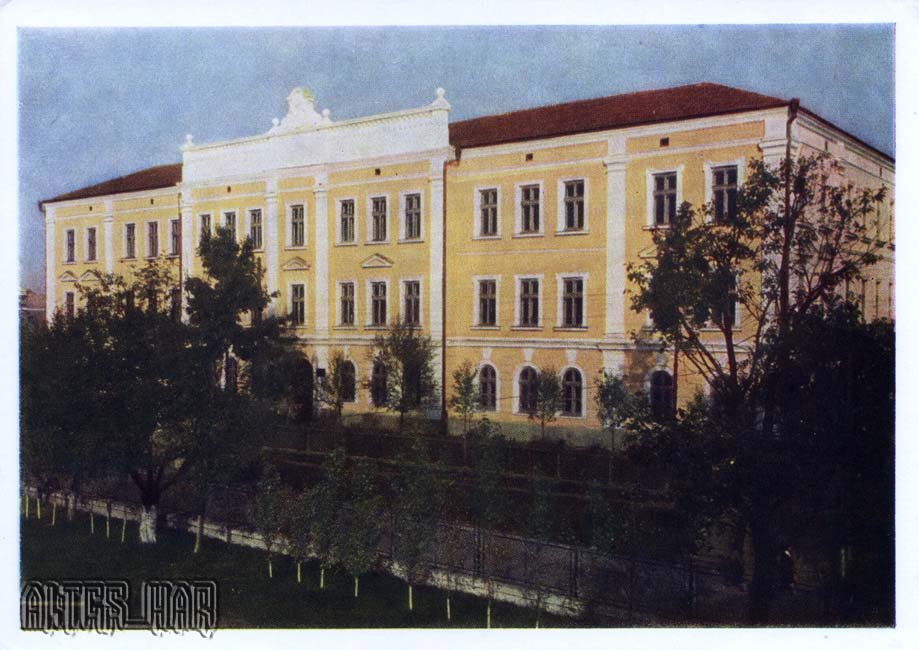
This 1959 postcard shows Secondary School No. 1 in Kolomyja.
What is shown on the postcard
The image features a school building with a symmetrical facade, multi-storey windows, and a schoolyard — typical of 1950s Soviet educational architecture.
Historical note
Post-war school expansion was a Soviet priority. In Kolomyja, a major Prykarpattia district centre with rich Hutsul culture, schools provided universal education and trained staff for regional industry and agriculture.
Present day
School No. 1 remains part of the city’s education system. The postcard records the building in 1959.
Location (map)
Address: Kolomyja, Ukraine
Coordinates: 48.526500, 25.044500
(Google Maps)
Coordinate source: Open map data, Kolomyja.
Questions and answers
- What is shown? Secondary School No. 1.
- What year? 1959.
- In which city? Kolomyja on the Prut.
See also
The «Old Postcards» archive includes other views of Kolomyja from 1959.





Reviews
There are no reviews yet.